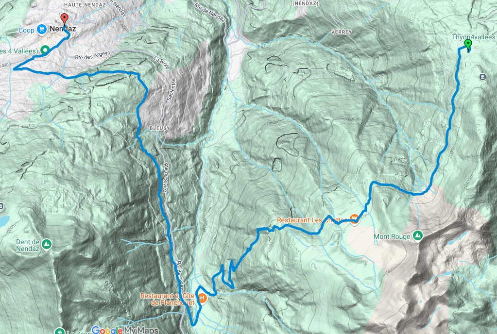
| Canton | Valais romand |
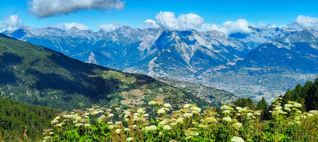
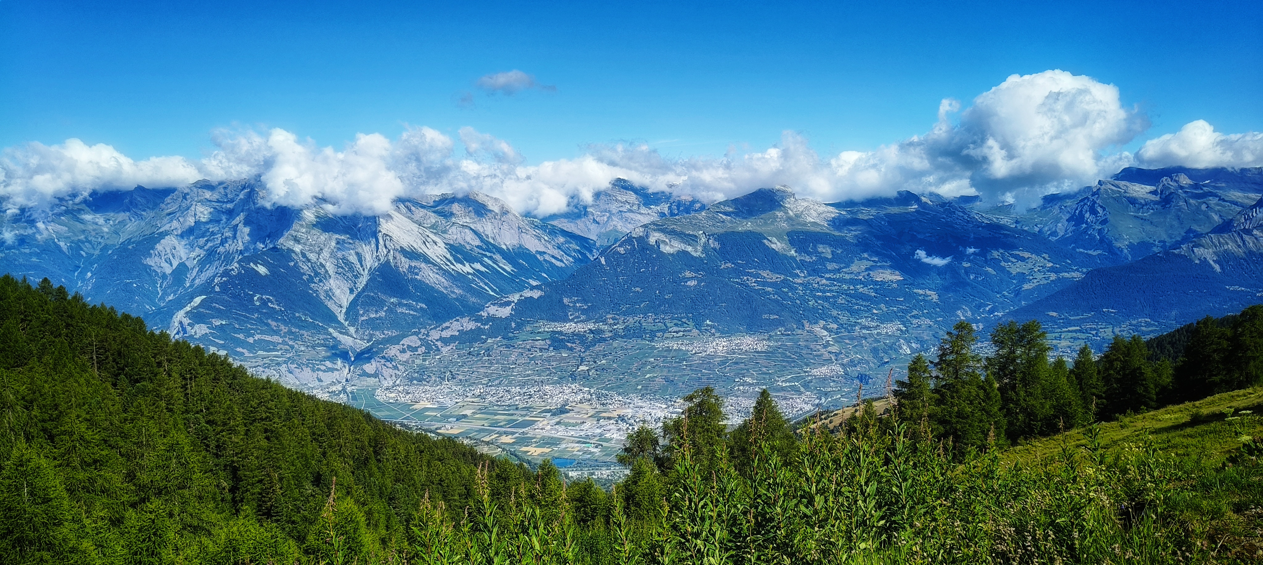
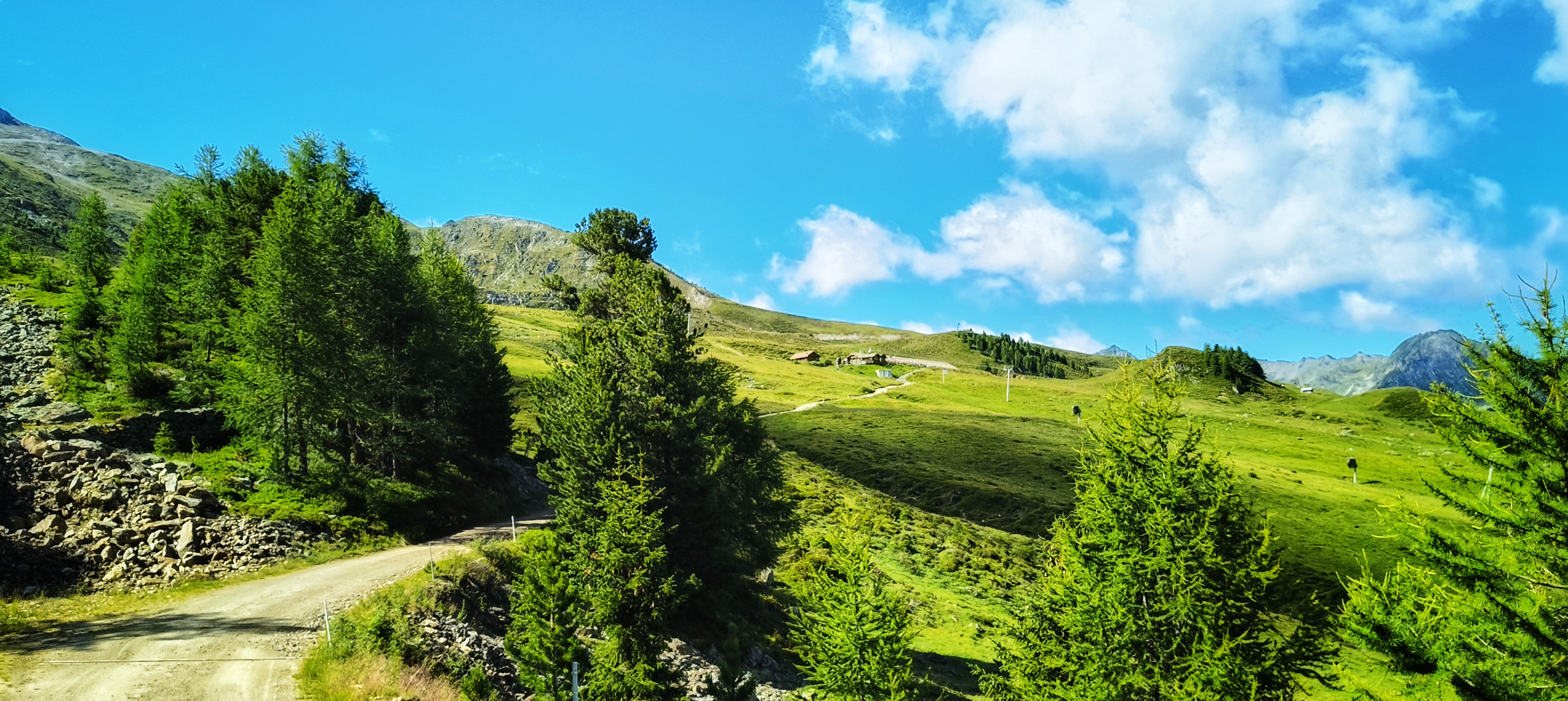
| Environnement | Montagne |
| Temps de marche | 4h06 |
| Distance | 15.52 km |
| Montée | 178 m |
| Descente | 960 m |
| Saison | Printemps, été, automne |
| Difficulté | Degré T2 Randonnée en montagne |
| Lieu de départ | Thyon 2000 |
| Accès transports publics | Télécabine Veysonnaz – Thyon 2000 |
| Lieu d’arrivée | Haute-Nendaz |
| Retour transports publics | Bus postal Haute-Nendaz – Sion |
Détails de la carte sur SuisseMobile


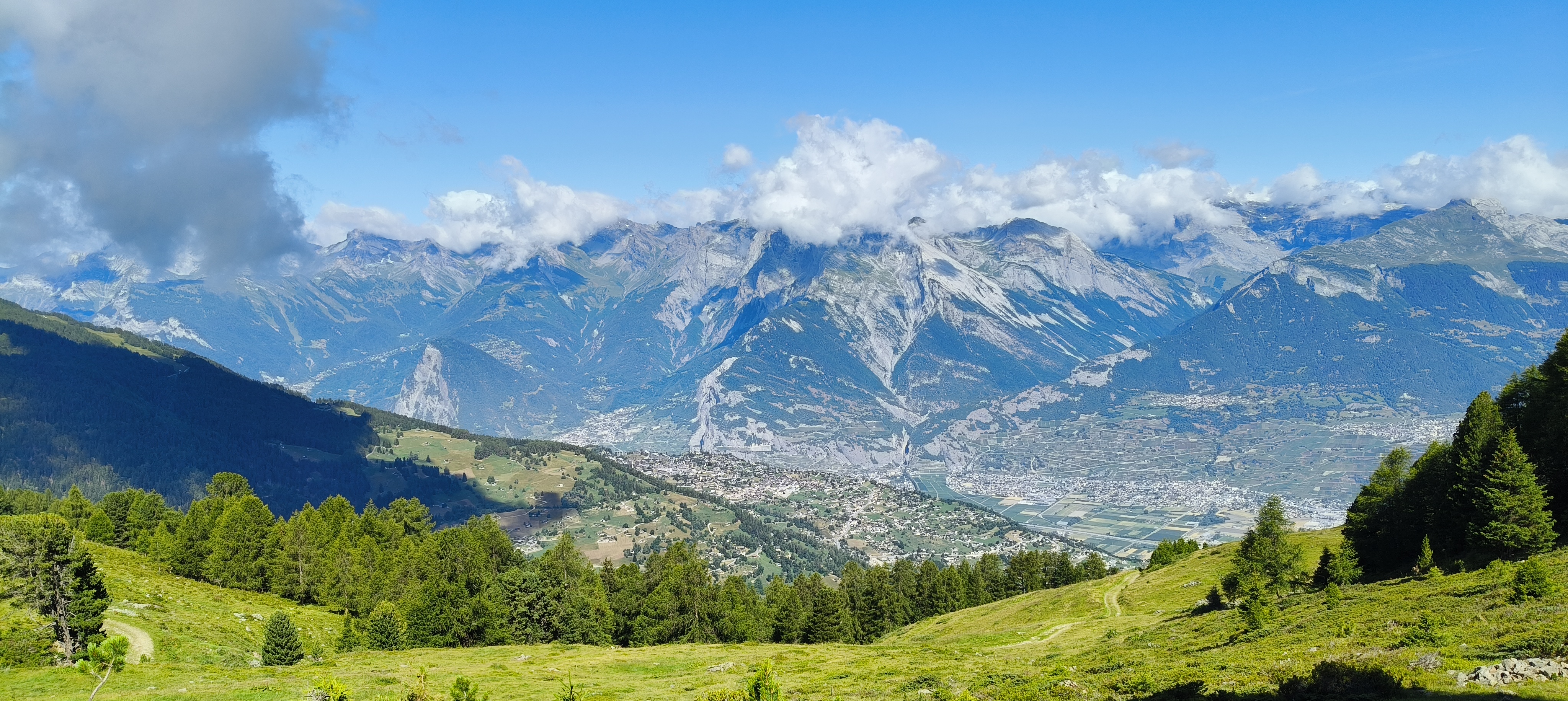


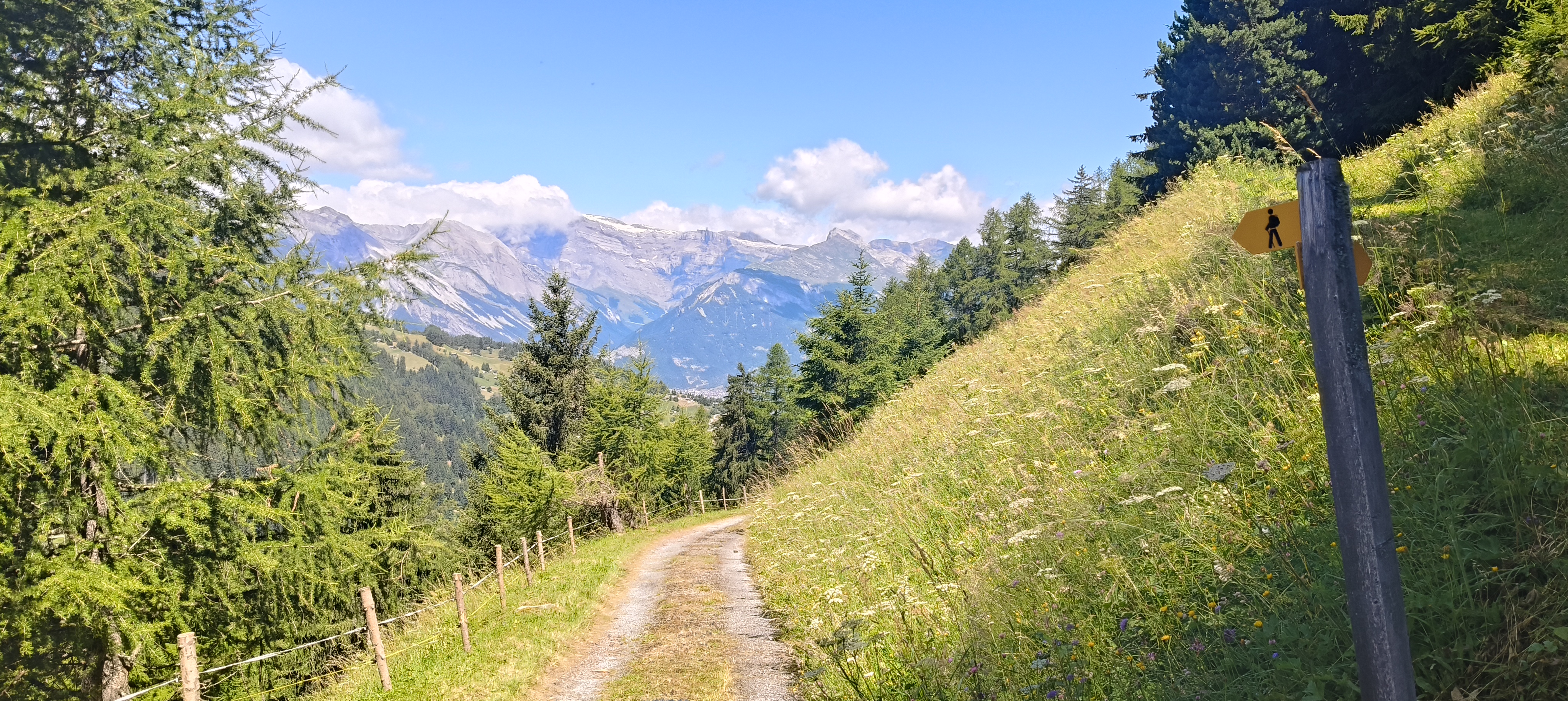
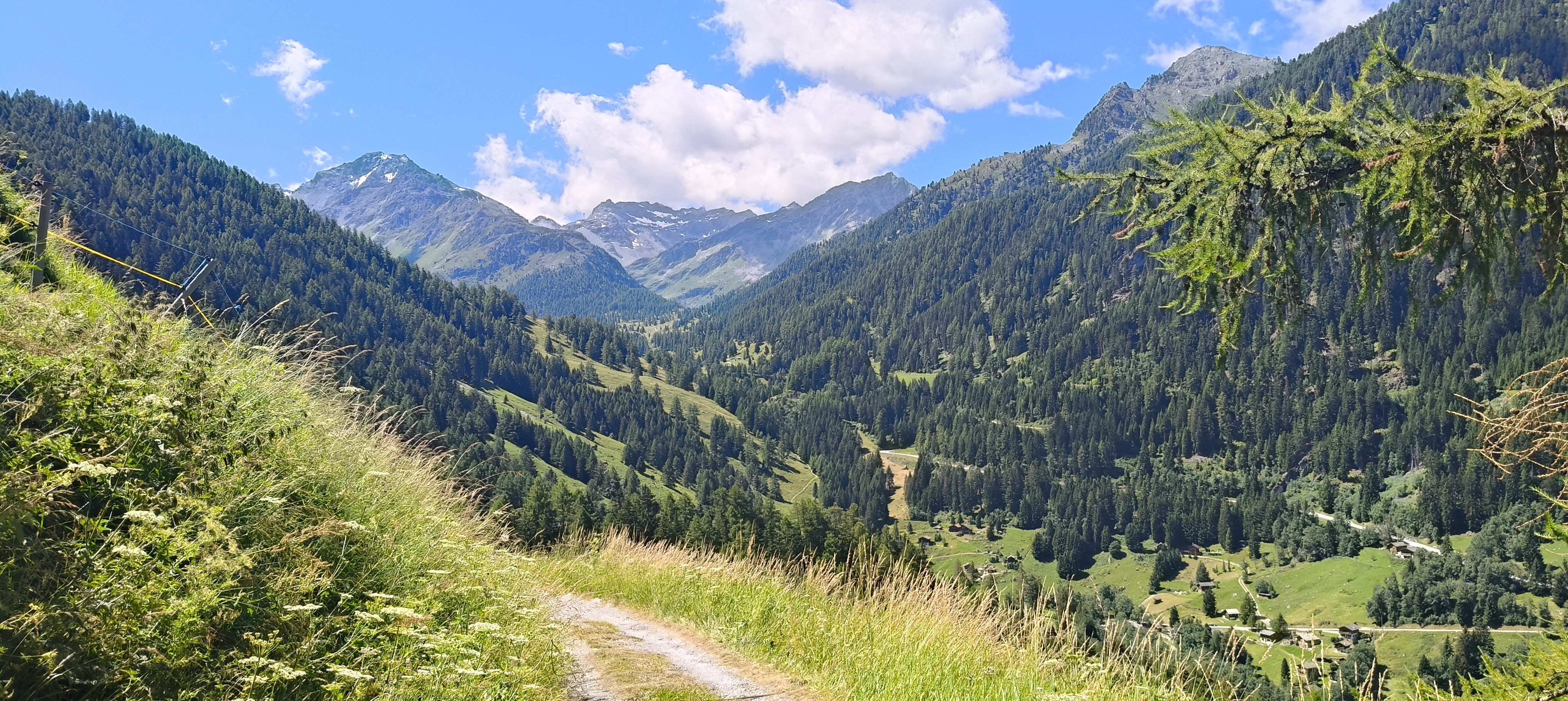
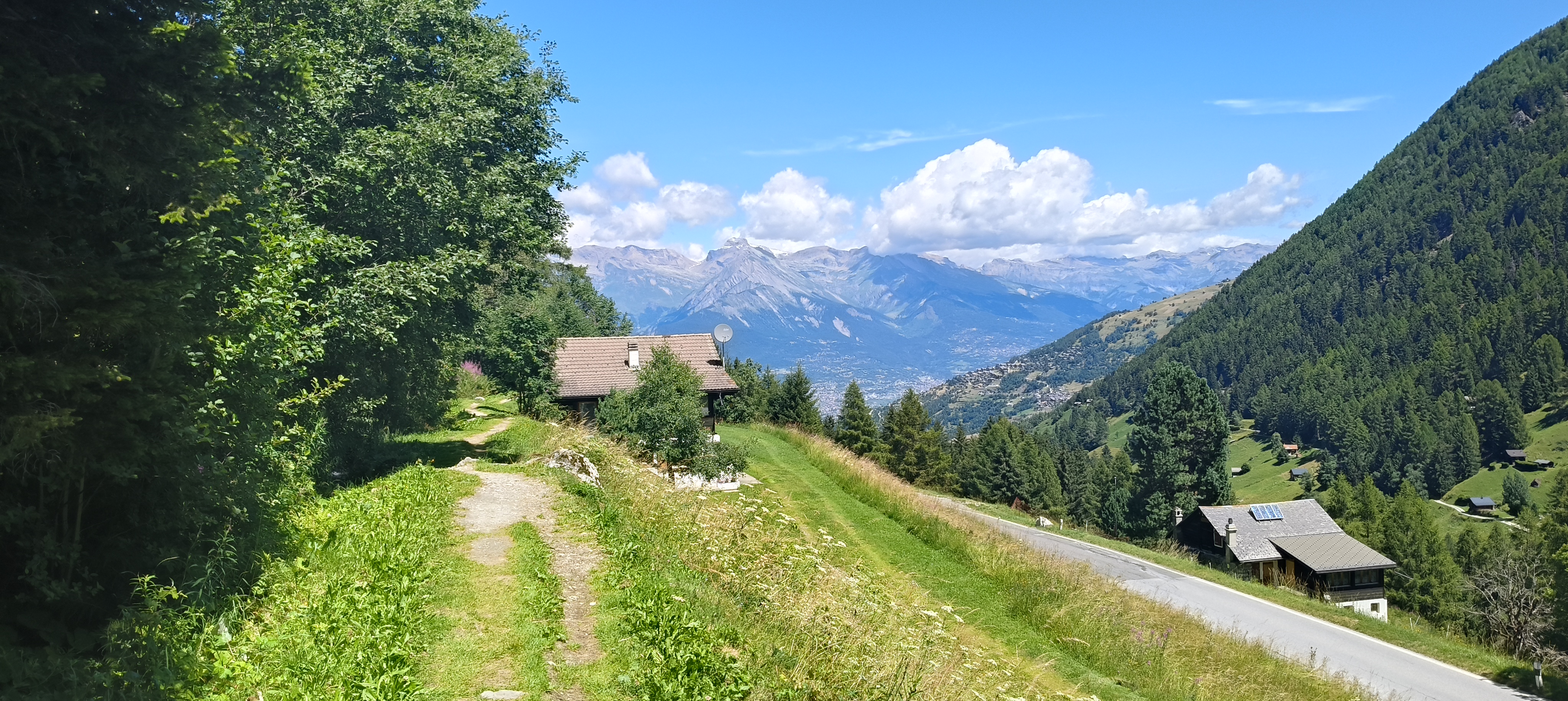


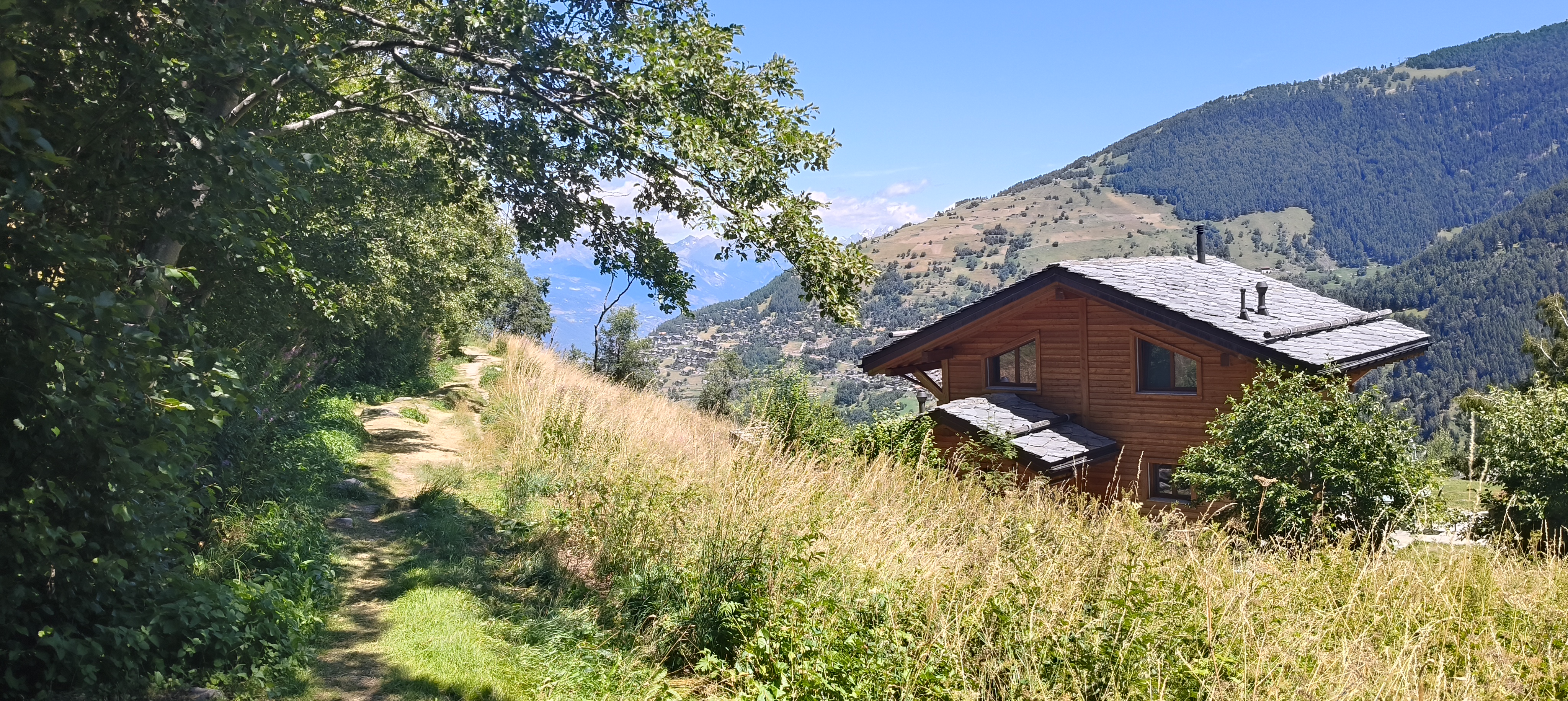
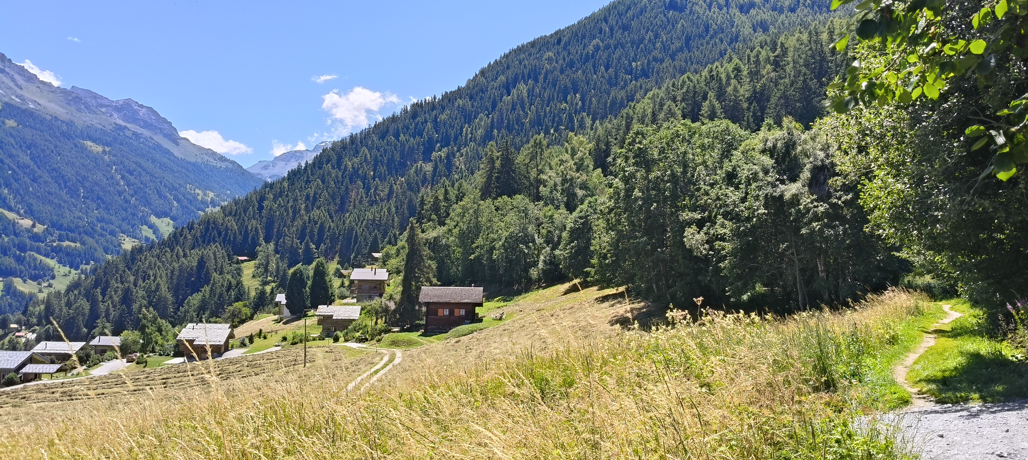
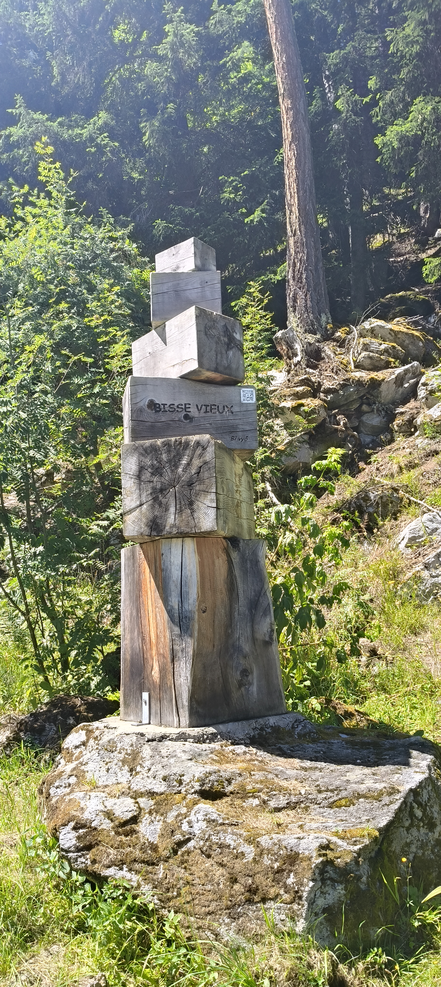


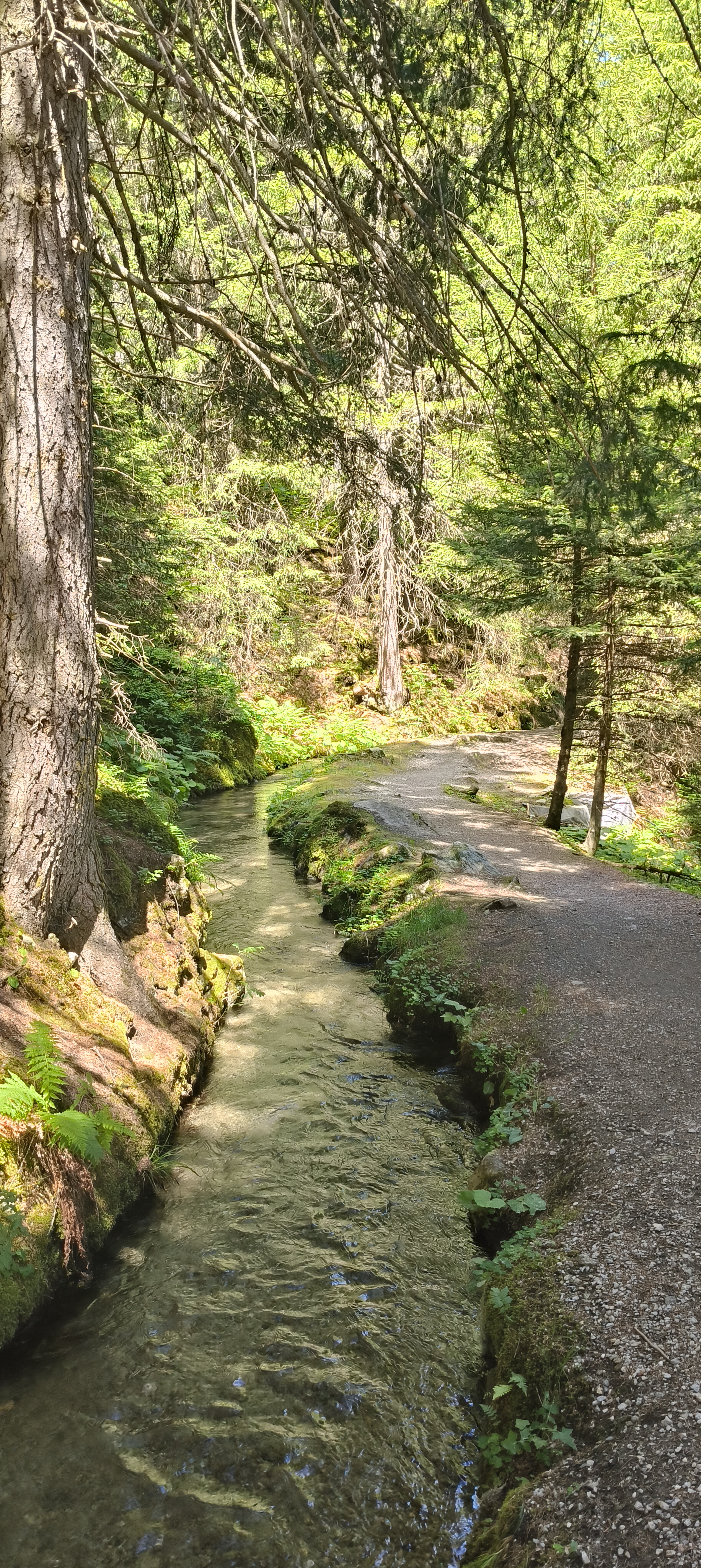
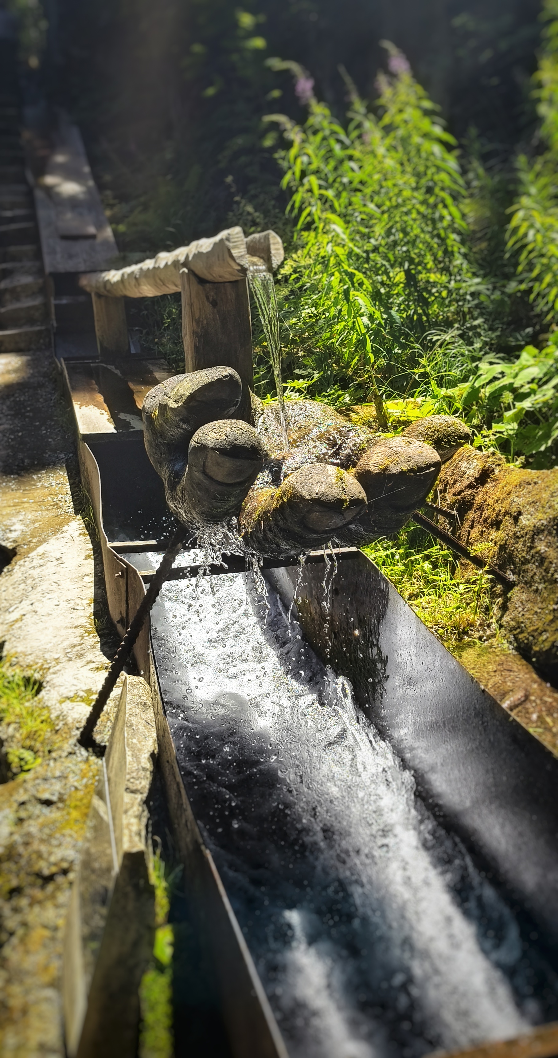
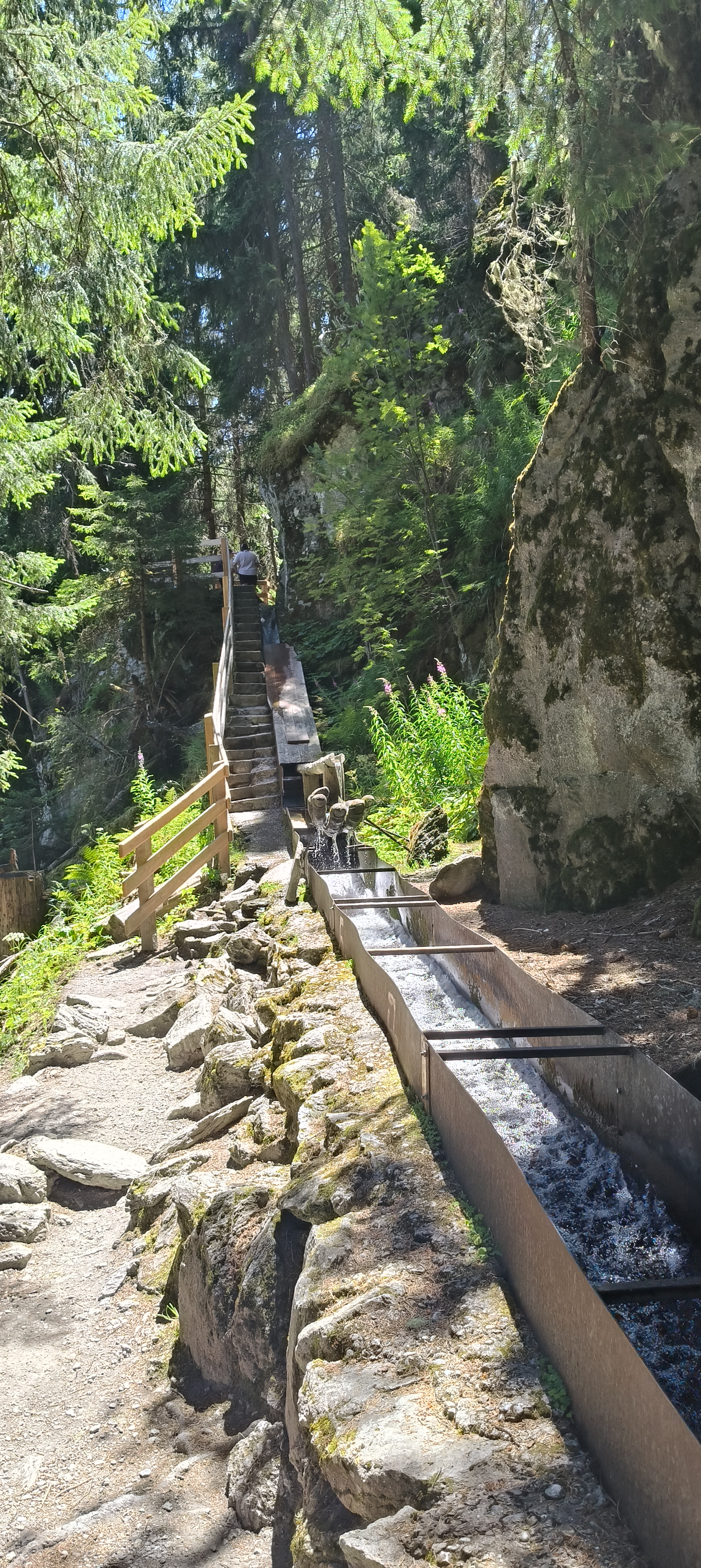
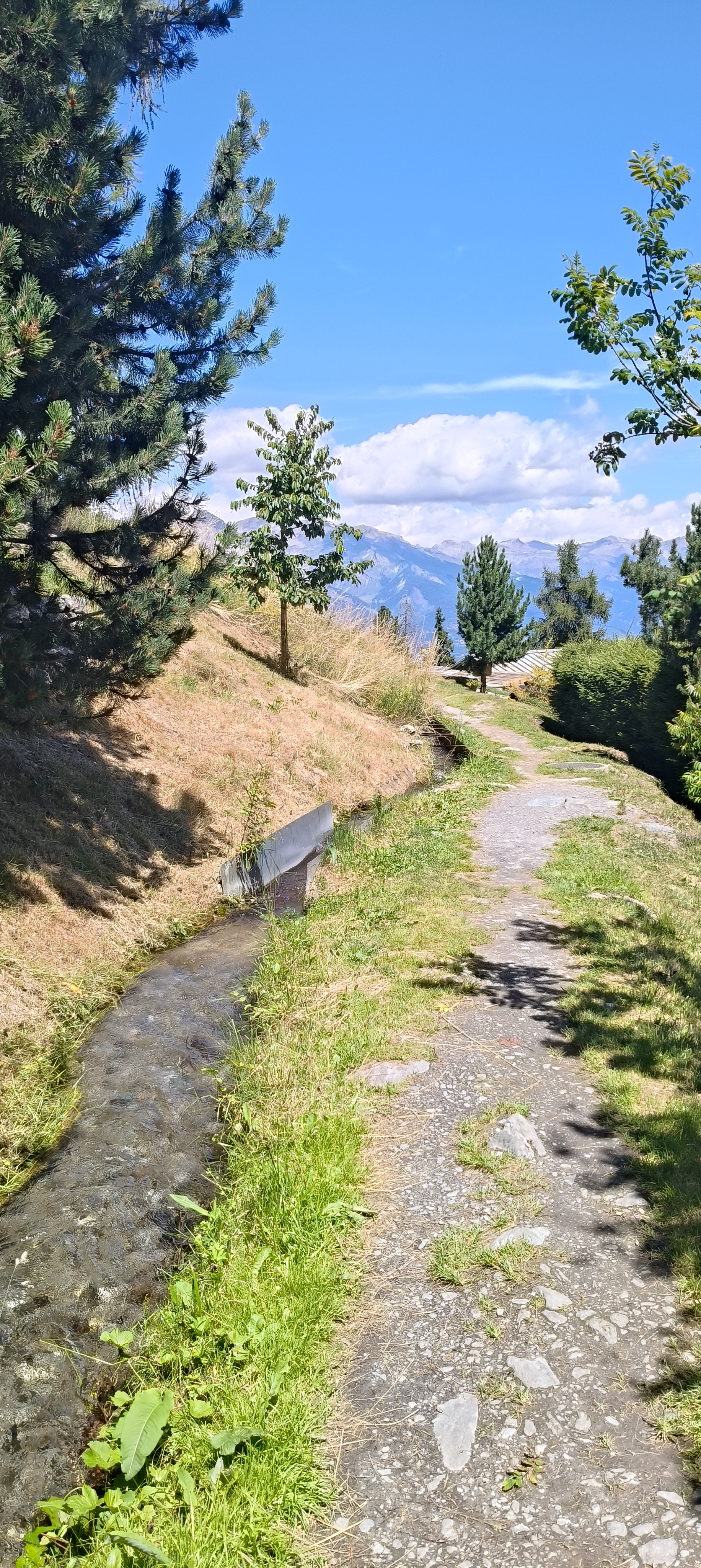

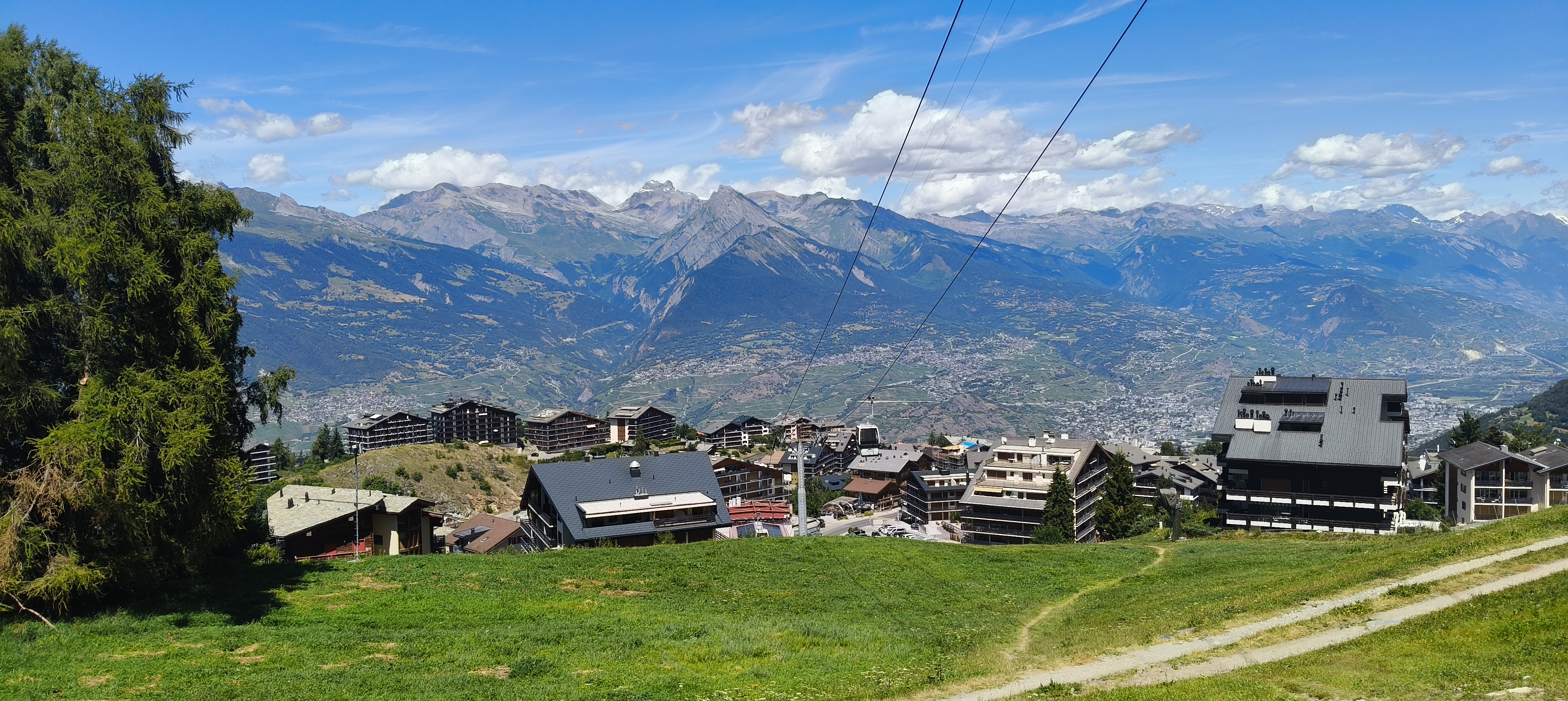
Photos : ©Catherine Armand

Laisser un commentaire